Holistic Stream Assessment/Restoration: Cheescake Brook - Newton, Massachusetts
A relatively intact section on upper Cheesecake Brook (Charles River Watershed Association)
Expanding on our recent interest in suburban streams, the Massachusetts chapter of NFC has taken a look at Cheesecake Brook in Newton, Massachusetts. Part of the city’s extensive network of partially buried and heavily altered waterways, Cheesecake Brook is one of the larger and more visible streams in the town.
Like many suburban streams, Cheesecake Brook was straightened, dredged, and walled in under the guise of flood control and development. As we now know, straightening streams speeds up the flow which can cause problems during rain events.
Cheesecake Brook made news in summer 2020 when it overflowed its walled-in channel, flooding roads and greenbelts. It happened again in summer 2021, floating a car downstream and taking out a small foot bridge in popular Albemarle Park.
A straightened, dredged, and walled-in section of Cheesecake Brook in Albemarle Park. (Jeff Moore)
When NFC learned that Charles River Watershed Association was looking to improve storm run-off to help filter contaminants, we reached out to project leader Max Rome to see if we could help in regard to fish. After several emails and a Zoom meeting, the group agreed to meet streamside to see things firsthand.
The group met 2 days after a snowstorm and on what was one of the coldest days of the year so far. On hand for NFC were Executive Director Bob Mallard, National Chair Emily Bastian, and MA board member Jeff Moore. Max was joined by CRWA Restoration & Engagement Associate Emilia Del Fabro.
NFC Executive Director Bob Mallard and Emilia Dick Fiora del Fabro of Charles River Watershed Association inspecting a section of Cheesecake Brook where the retaining wall has been undermined creating one of the deeper pools in the lower stream. (Jeff Moore)
Meeting at Albemarle Park, the group toured the lower end of the longest section of daylighted, or above ground, stream. While walled-in and obviously straightened and dredged, we were pleasantly surprised to see a good volume of clear water, a clean sand and gravel bottom, and a notable lack of trash or other debris. Many of the suburban streams we have seen suffer from low water levels, an unusually high amount of decaying organic matter, and trash and other debris that doesn’t belong there.
The upper end of the section at Albemarle had some in-stream rocks as well as a level of gradient that would help replenish dissolved oxygen and cool the water. In a number of places, large clods of soil and grass have fallen off the top of the walls creating small islands, narrow chutes, and some level of sinuosity. In one place a short section of wall has been undermined creating one of the deeper pools we saw.
The group then moved downstream to take a look at what is believed to be a fish-blocking structure. The structure was found to be a roughly 10-foot wide horizontal cement slab with a sloped cement slab of equal size, terminating at a 10-inch perched drop. The structure was built to protect a municipal sewer pipe. While some level of fish are likely to be able to navigate the structure during high water periods, it is doubtful that any fish can pass during low water due to the perch and pitch and length of the downstream slab. The structure also impounds water upstream in a slow deep pool for 100 feet or so.
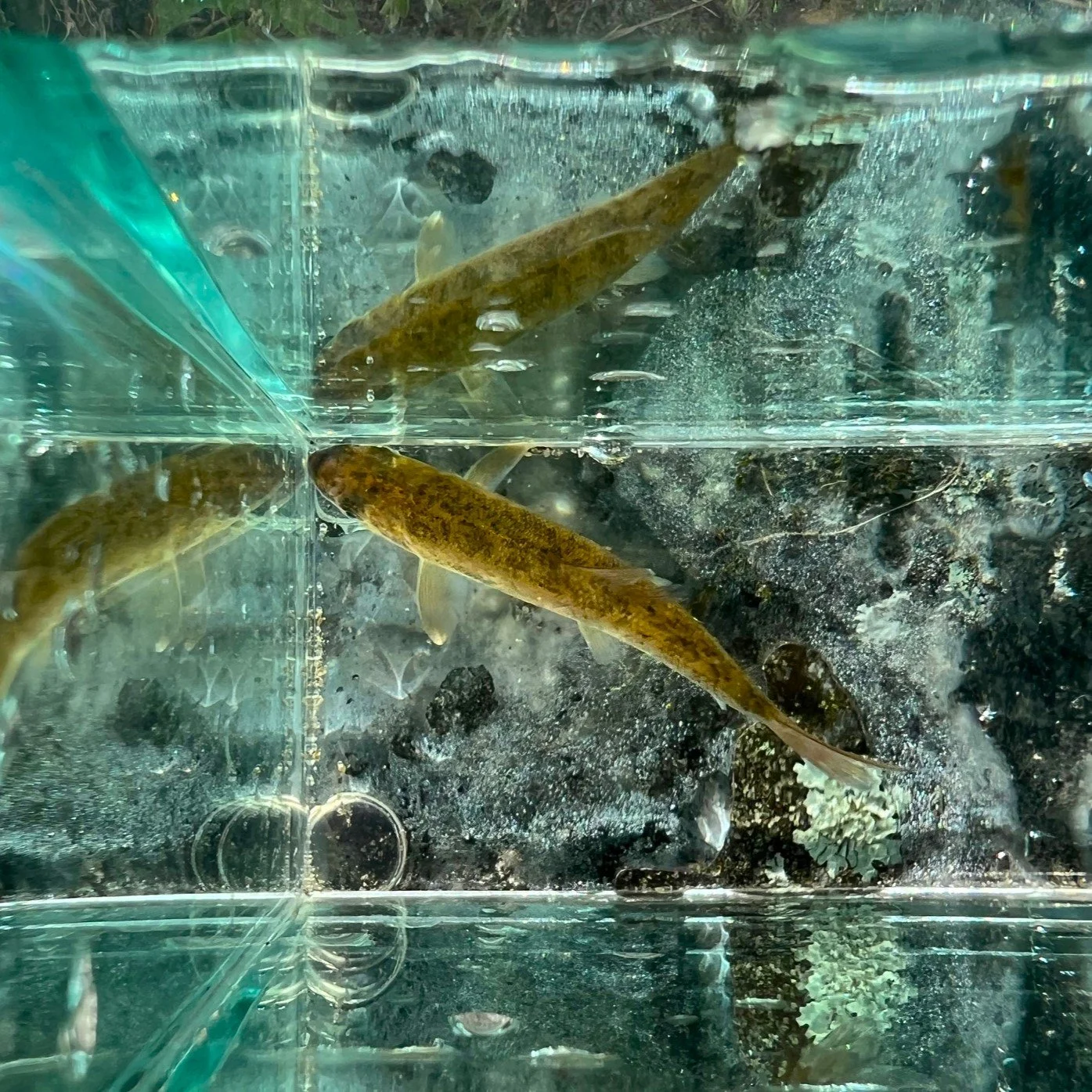
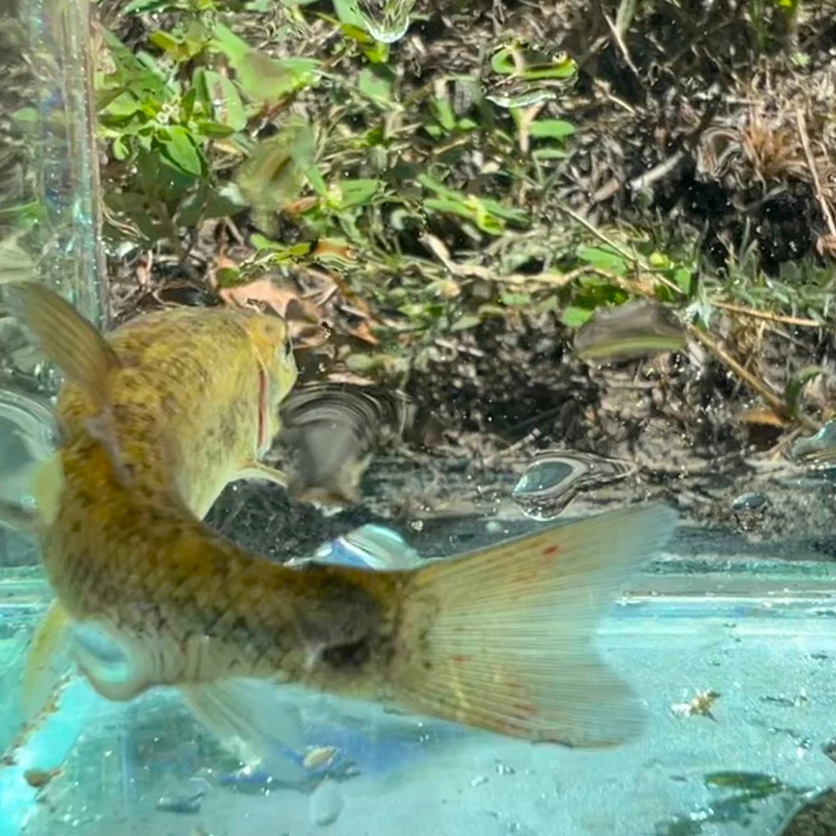
Unfortunately, the fish-blocking structure is just upstream of where Cheesecake Brook empties into the Charles River. While the stream appeared to be pretty much devoid of fish, and the only report of fish we have heard came from Max who photographed what might have been a comet, the river has a diverse and abundant population of fish. And with the next downstream dam slated to come out, fish from downriver, including anadromous species such as Alewives are likely to move upriver.
A fish, possibly a comet, or comet-tailed goldfish, in Cheesecake Brook. (Max Rome)…
Next the group moved upstream a mile and a half or so from Albemarle Park. While Cheesecake Brook goes underground at the heavily developed intersection of two busy streets, and then beneath the Massachusetts Turnpike, it resurfaces briefly roughly 3/4 of a mile later at a spot not shown on any maps. This shows just how much we don’t know about these suburban streams, and how much we will need to learn to restore them where possible.
What we noticed right away was the notably lower volume of water between Albemarle Park and the short daylighted section upstream of the buried section. While most suburban streams receive water input from storm drains, the single-digit temperatures made it unlikely that this was where the increased flows were coming from. It’s possible that another buried stream enters Cheesecake Brook between the two daylighted sections.
Plans for the future…
NFC looks to work with CRWA to ascertain what if any fish are using Cheesecake Brook today, as well as what fish could utilize the stream if reliable passage was available. In order to accomplish this, we will be doing the following. These efforts would begin in the spring when the water temperature gets above 50 degrees:
Sampling the stream using eDNA metabarcoding sampling at approximately 5 locations upstream of the fish-blocking structure. This will show what if any fish are using Cheesecake Brook upstream of the fish-blocking structure today.
Seining the large pool immediately downstream of the fish-blocking structure. This will help determine what if any fish are moving out of the Charles River and into the lower end of Cheesecake Brook.
Surveying the Charles River in the vicinity of the confluence of Cheesecake Brook using minnow traps. This will help determine what fish are in the Charles River that could use the stream.
Surveying the Charles River in the vicinity of the confluence of Cheesecake Brook using hook-and-line angling. This will help determine what fish are in the Charles River that could use the stream.
NFC also looks to work with CRWA to discuss and assist the following:
Season-long temperature monitoring in both Cheesecake Brook and the Charles River to understand thermal stress issues.
Periodic dissolved oxygen (DO) testing to determine if Cheesecake Brook can support fish.
Periodic chemical testing to determine the impact of point source and nonpoint source pollution.
DOT plans to remove in-stream structure from Cheesecake Brook in Albemarle Park. The structure, mostly mounds of dirt and grass, are doing more good than harm right now.
Improving fish-passage.
Translocating wild native fish from the Charles River into Cheesecake Brook if the conditions warrant doing so.
Brian Means of MassWildlife with an adult American eel captured from Cheesecake Brook…
finding fish where fish were not supposed to be
As a result of trapping, seining, and e-fishing, NFC and our partners were able to confirm the presence of at least 3 species of fish in Cheesecake Brook. This includes nonnative carp, native white sucker, and native catadromous American eel in multiple age classes.
Imagine Cheesecake Brook with more streamside trees and bushes, in-stream structure, and aquatic vegation, and most importly, wild native fish…


